3. DATA EXPLORER
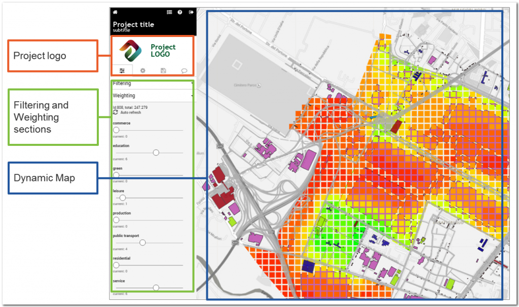
The data explorer interface is graphically structured by two main elements:
- a viewer window containing a dynamic interactive map;
- a vertical menu on the left side containing all the parameters setting.
The interactive map can be both geographical or not, so that also non spatial-data can be visualised and explored. This means that the geographical maps can be replaced by info-graphics, according to the choice of the project contributor.
The menu on the left side contains all the elements for exploring data and interact with the information.
The map scale and the zoom commands are on the upper right side of the dynamic map frame.
