– Weighting setting
The weighting section allows data to have an influence on other data on the basis of mathematical curves.
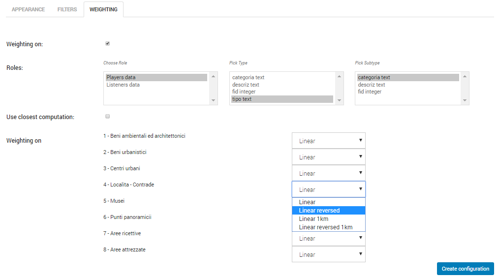
Through this section, users can assign a curve to each value included in a specific field of the table.
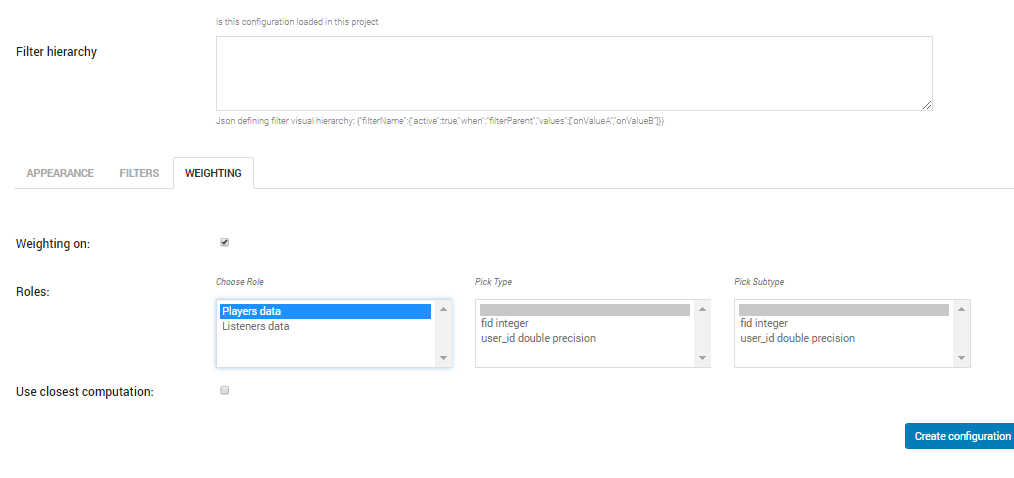
In order to weight maps, firstly check the “Weighting on” box.
Then, Roles shlould be assigned to the layer:
- “Listeners data” : this role can be assigned to one map for each project. This map has the function of defining the land subdivision. For this purposes, it can be used a grid, a census map, a zoning map or whatever land classification map.
- “Players data“: all the other layer can be weightd assigning them a “players data” role. Then, two fields of the table must be chosen for defining the role:
- Type field is the field of the table which contains the family name of the values to be weighted (i.e. Transport network).
- Sub-Type field is the field which contains the sub-type of the values to be weighted. To each subtype, users can assign a different curve (i.e. Public Transport, Bykelanes, Highways,..).
 __________________________________________________________
By default, mathematical curves have been previously set to linear functions. Clicking on the dropdown menu, users can choose between the curve types associated to the project.

